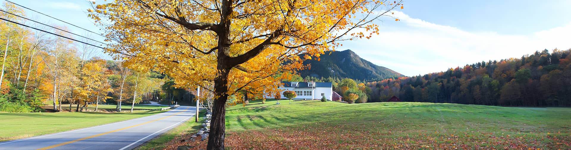
Mapping & Data Analysis
At RRPC, we leverage the power of Geographic Information System (GIS) to manage, analyze, and visually represent geographic and spatial data for the Rutland region. GIS is not just about maps; it’s a multidisciplinary toolset that offers an innovative way to extract and present insights from complex data, supporting informed decision-making across our region. Our team is equipped with a diverse set of skills that allow us to provide you with specialized Mapping and GIS as well as Data Collection and Analysis.

Contact Our team for personal assistance

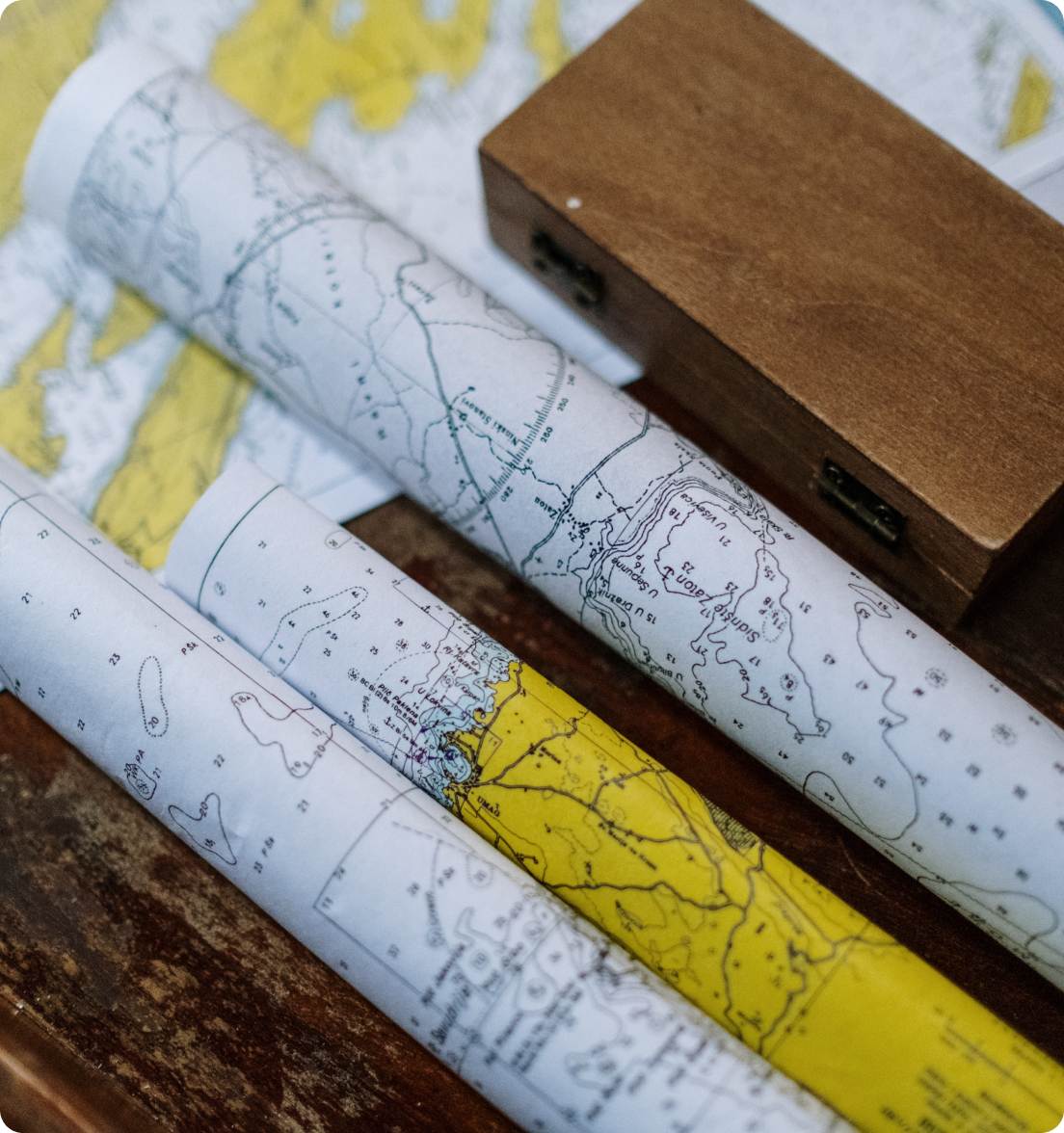
Creating Maps To Represent Spatial Data
Land Use Maps
Zoning Maps
Transportation Maps
Demographic Maps
Environmental Maps
Story Maps
A Guide To Your Decisions and Strategies
We don’t just provide the data; we can help you develop systems to collect it as well.
Our team combines data from different sources and scales, and performs complex analyses and data visualization to extract actionable insights, helping guide your decisions and strategies.
SLOPE AND FLOOD ANALYSIS
We provide detailed geographic analysis for things like slope and flood hazards. Our insights can help you understand the potential risks and design appropriate measures for land use, development and emergency planning.

Let’s work together!
Whether you’re a public body or a private enterprise, we’re here to cater to your specific needs. Reach out to us via our Intake Form to discuss your requirements. From routine GIS services to custom mapping and analysis, we ensure you receive high-quality, cost-effective solutions.
Information at your fingertips
The RRPC has the most accurate and up-to-date information to save you time, effort, and money in all your local planning endeavors.
HELPFUL DOCUMENTS:
Enhance your next project or application
